
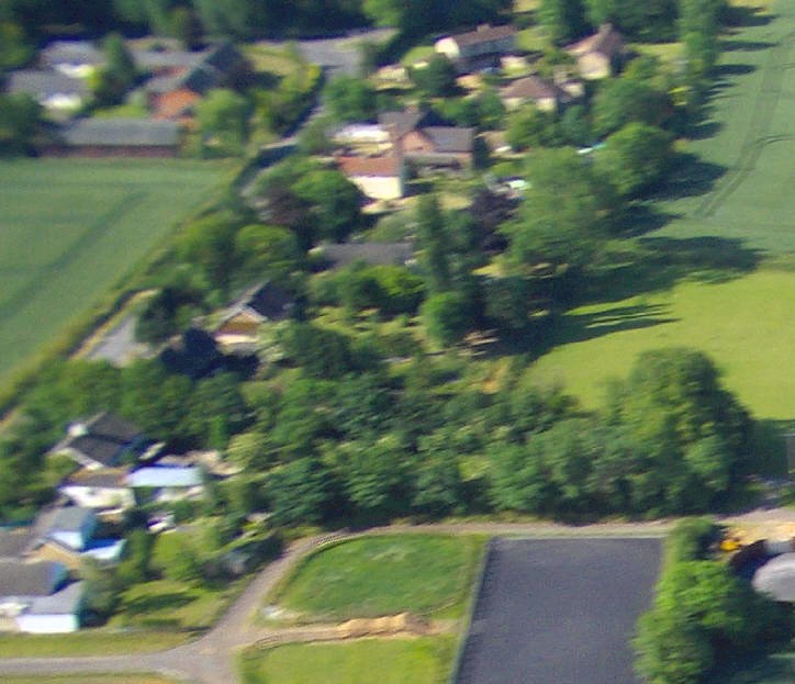

Church Road is seen in the top left of this photo.
Starting at the bottom right is Hawkwind Stud. Working our way up to the top are Cyrynti, Talland, and Odums. In the foreground is Poppy Barn, on Brinkley Road.
|
|
|
|||
|
|
|
|
||
|
|
||||
| Sadly this blurry
enlargement is the only photo currently taken of the top end of Church
Road (it was in the background of a photo taken of Brinkley Road).
It is looking South, and the War Memorial is at the T-Junction
at the very top of the photograph.
|
||||
|
|
||||
|
Church Road is seen in the top left of this photo. Starting at the bottom right is Hawkwind Stud. Working our way up to the top are Cyrynti, Talland, and Odums. In the foreground is Poppy Barn, on Brinkley Road. |
||||
|
|
|
|||